A U of T Engineering vehicle — one with a flashy chrome finishes and high-tech roof-mounted scanners — is getting a lot of admiring looks as it rolls around Toronto.
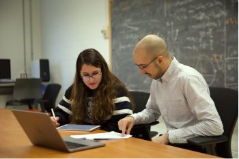
Meet UrbanScanner, a mobile testing laboratory on wheels. Constructed and driven by researchers in the Transportation and Air Quality group led by Prof. Marianne Hatzopoulou, (CivMin), the vehicle takes detailed measurements of air pollution as it varies over space and time.
Hatzopoulou and her team, including research associate Dr. Arman Ganji and MASc candidate Keni Mallinen, have partnered with Scentroid, a Toronto-based company developing sensor-based systems for urban air pollution monitoring, to create UrbanScanner.
The vehicle includes a 360-degree visual camera, a lidar (light detection and ranging) system, a GPS transponder, and an ultrasonic anemometer, as well as sensors for temperature, relative humidity, particulate matter and certain gas-phase pollutants.
A platform on the roof of the vehicle streams data to a cloud server, with air pollution measured every second and paired with the camera and lidar images. The ability to collect detailed location information enables air pollution data to be overlaid on city maps.
UrbanScanner can compare its real-time measurements of air pollution with features of a particular street or neighbourhood, such as traffic flow, number and height of trees and local building forms. It can also reveal patterns over time, whether it’s the daily rush hour or seasonal variations.
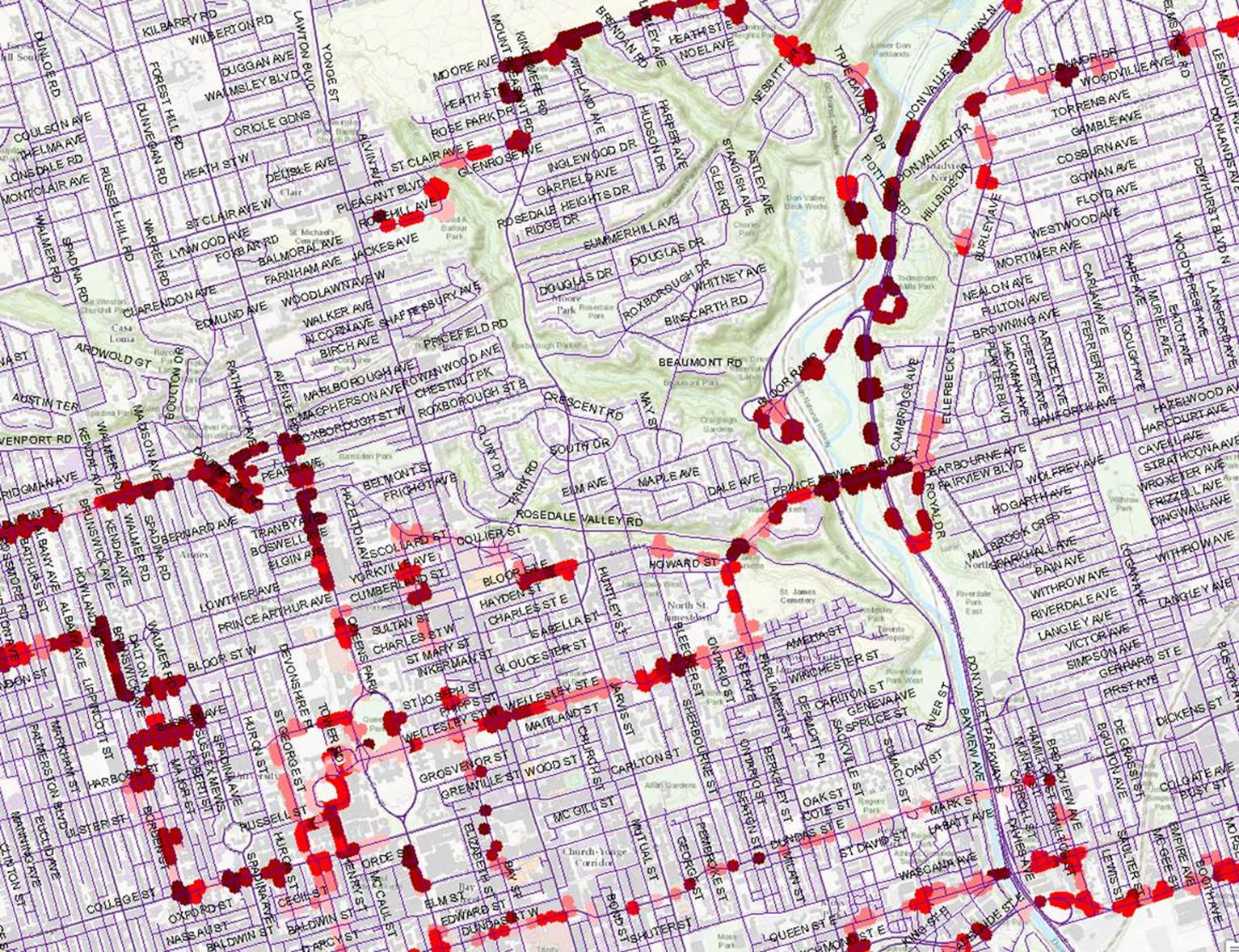
“Since September 2020, UrbanScanner has been collecting air quality data across Toronto, both along major roads and within Toronto neighbourhoods,” says Hatzopoulou.
Over the course of a single month UrbanScanner can log more than 2,280 km of driving, or more than 100 hours of data collection. That adds up to over 250,000 data points.
“This massive database will continue to grow as UrbanScanner collects data across seasons and will help us predict air quality in space and time, providing crucial information about population exposures in the city,” says Hatzopoulou.